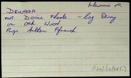
UGA P/P120/1/10/55/1
·
Item
Part of Personal
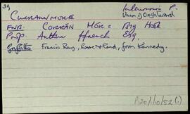
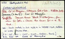
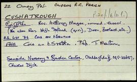
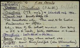
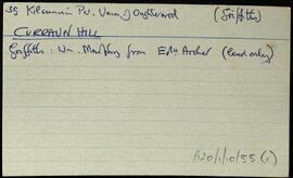
Index card relating to the townland of Curraun Hill, [Cnoc an Chorráin].
Robinson,Tim