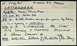
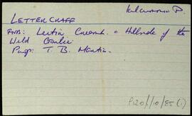
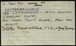
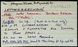
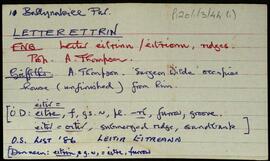
Set of index cards describing some of the local features of the townland of Letterettrin, [Leitir Eitreann]. Included are descriptions of The Short River (Owengar on the OS), Illaunroe and the Lodge (which dates back to around the time of Griffith's Valuation), Aill Thomaisín Coyne, Binn Mhór, and Lough Fee. Festy Mortimer of Rosroe, and Delia McDonncha are credited with providing some of the local knowledge.
Robinson,Tim,Mortimer,Festy,McDonncha,DeliaIreland
667 Archival description results for Ireland
Set of index cards giving a briefdescription of the townland of Letterdeen, [Leitir Dín]. Included are a description of a standing stone, and of Loch an Chrainnrín (Lough Acranncreen on the OS map).
Robinson,TimIndex card relating to the townland of Lettercraffroe, [Leitir Creamha Rua]. Leitir Creamh Ruadh in the Field Name Book.
Robinson,TimIndex card relating to the townland of Lettercraff, [Leitir Creamha].
Robinson,TimA set of index cards outlining some of the local features of the townland of Letterbrickaun, [Leitir Breacáin]. Included are descriptions of the Church of St. Michael, the Keeloges, the former Presbytery built in 1876, the Michael Davitt Memorial Hall (built in 1943, and once a school), Bay View, and Tobar Mhuire.
Robinson,TimSet of index cards describing some of the local features of the townland of Letterbreckaun, [Leitir Breacáin]. Included are descriptions of Binn a Bhrioláin (the peak of Cnoc Fionnasclain), and Log na gCapall which is South of Mám Tuirc. A local person named only as Lydon, and an unmaed Cushatrower man are credited with providing some of the information.
Robinson,TimSet of index cards describing some of the local features of the townland of Lettermore, [Leitir Móir]. A note about some standing stones called Liagain, possibly the remains of a pagan burial ground located here. Also described are Cillín (a children's burial ground), Carraig Ghlas (carrigeenyglassa on the OS), Letter Hill (Tully Mountain on the OS maps), Clochán Fada, and Tóin na Binne.
Robinson,TimSet of index cards describing some of the local features of the townland of Letterbeg, [Leitir Beag]. Included are descriptions of Breillín (a small projection of the cliff face in Cuigéal), Duirling na nGabhar, Scailp Nóra Ní Allúráin, Loch an Mháma, Carraig Leathan, Cuainín na nGabhar, Béal Bhráidoileán, Fó na Sáibhéiracht, Fó Jack, Fó Caol, Cuigéal, Trá Mhór/Trá Bheag, and Bráidoileán. Local man Paddy Hearne, and an unidentified local woman are credited with providing some of the information.
Robinson,Tim,Hearne,PaddyIndex card relating to the townland of Lemonsfield/Lemonfield, [An Chorr]. Páirc Leamhán in the Field Name Books. Illaunacreeva, Cnoc na Cabha, Eanach Clumhach, Oileán Brointín, Bilberry Island, Oileán Chainbhe, Inis Sean Bó, and Kilcomine are briefly described local features of the townland.
Robinson,Tim