UGA P/P120/1/7/4/1
·
Item
Part of Personal
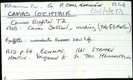
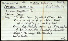
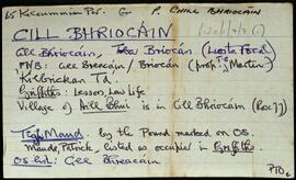
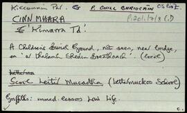
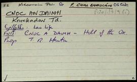
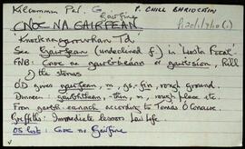
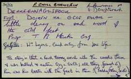
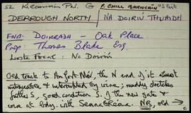
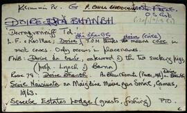
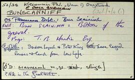
Set of index cards describing some of the local features of Bunscanniff, [Bun Scainimh]. Included are descriptions of The Halfway House, Tulachaí, Bun Mór, Loch Fhada, and the ruins of Mick McQuaid's Cottage. A note to say two photoraphs of McQuaid's cabin can be found in the Irish Architectural Archive.P. Joyce of Uráid, and Martin Lynch of Bunscanniff are credited as being local sources of information.
Untitled