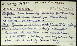
Set of index cards giving a description of the townland of Gannoughs, [Na Gainmheacha]. Included are a note about a possible boulder dolmen (a debate surrounds it), Clochar (a shingle beach), Barr an Roiín, and Carraig chullú (Carrickculloo on the OS map). Robinson notes that he has spoken to Mike Gibbons and Seán Ó'Núallán about the possible boulder dolmen.
UntitledIreland
667 Archival description results for Ireland
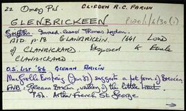
Set of index cards giving a description of the townland of Glenbrickeen, [Gleann Bricín]. Included is a description of Fiodán Trasnaigh, the stream flowing from the north into Glenbrickeen Lough. T. Joyce is credited as being a local source of the information.
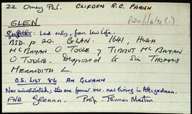
UntitledSet of index cards giving a description of the townland of Glen, [An Gleann]. Included are descriptions of rock shelters (possibly Booley huts), Loch na h-uamain (the lake of the cave), Farawan Lake (the local pronunciation, Lough Nawarawaun on the OS maps), and Meall agus Caorán. Mike Gibbons, and Philomena and Tom Welsh of Cushatower are credited with providing some of the local information.
UntitledIndex card giving a description of the townland of Gortrummagh, [An Gort Dromach]. A coastguard station and boathouse are briefly described on this index card, along with a note stating it was once part of the D'Arcy estate.
UntitledSet of index cards giving a description of the townland of High Island, [Ardoileán]. Included are a note on Richard Murphy, the poet, who bought High Island in the 1960's, and a general note on the terrain of the island itself. Also included are descriptions of The Chisters (two islets called Carrickarone on the OS maps), Dublin (a passage between cliffs), Fuagh na Cara, Fuagh an Mhianaigh, Promontory Fort, and the Copper Mine. A fisherman on the island provided some of the local information.
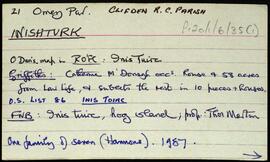
UntitledSet of index cards giving a description of the townland of Inishturk, [Inis Toirc]. Included are descriptions of Black Stick (a hill), Cara Chnoic, Baile Thoir, Baile Thios, Cuainín, Reilg, Caibidie, An tOileán Íseal, Glasoileán, Caladh Mór, Cnoc na Móna, Maoilín, Fuach Mhór, Carraig Mhuiris, and Tóin Rua. Mr. Hannon or Inishturk, and Mr. McDonagh of Eyrephort are credited with provoding some of the local information.
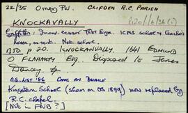
UntitledSet of index cards giving a description of the townland of Knockavally, [Cnoc an Bhealaigh]. Included are a rough sketch of Knockavalley wedge (dated 26 July '06), The Three Stones (a megalith, includes a small sketch), and Kingstown Church.
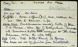
UntitledIndex card giving a description of the townland of Kill, [An Chill]. Included are descriptions of Ross (the eastern half of the townland), Kill Bank, Oileán na Mionán, the national school, Standing Stone, and a detailed note on the local chapel. Included here is a description of unusual grave slabs of concrete decorated with shells. An anecdote involving pirates and an unfortunate local man.
Untitled