Index
655 Archival description results for Index
655 results directly related
Exclude narrower terms
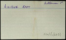
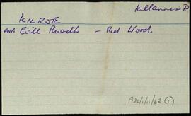
UGA P/P120/1/11/63/1
·
Item
Part of Personal
Index card for the townland of Kilroe East [Coill Rua Thoir].
Untitled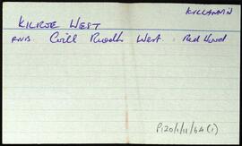
UGA P/P120/1/11/64/1
·
Item
Part of Personal
Index card for the townland of Kilroe West [Coill Rua Thiar].
Untitled
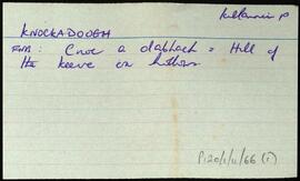
UGA P/P120/1/11/66/1
·
Item
Part of Personal
Index card for the townland of Knockadough [Cnoc Aduaidh].
Untitled
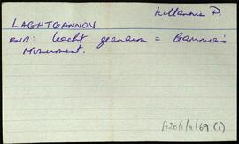
UGA P/P120/1/11/69/1
·
Item
Part of Personal
Index card for the townland of Laghtgannon, [Leacht Geanainn].
Untitled