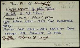
A set of index cards outlining some of the local features of the townland of Maum West [An Mám Thiar]. Included are descriptions of Mícheál Breathnach's House (a seanchaí, visited by Delargy and Seán Mac Giollarnáth), Cúilín (a burial place for children), and a note about an open cast mine. Michael Kyne is credited as being a local source of information.
UntitledIndex
655 Archival description results for Index
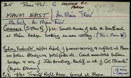
A set of index cards outlining some of the local features of the townland of Maum East [An Mám Thoir]. Included are descriptions of a small bridge in the townland, it conveys a stream coming from the mountain. Also included is a brief description of Sruthán na Ceártan. Nora Keane is credited as being a local source of information, as well as other secondary sources such as the Galway Vindicator.
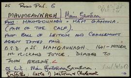
UntitledA set of index cards outlining briefly some of the local features of the townland of Maumgawnagh, [Mám Gamhna]. Included are a business card for Hans Werner Meis of the Maam Metal Recovery Company,and some information about the company.
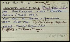
UntitledA set of index cards outlining briefly some of the local features of the townland of Munterowen Middle [Muintir Eoghain Láir]. Barr Eidhneáin, The Parks, Torán, Loigín, the Maam Sheep Research Station, and Roighne Bheag are briefly described.
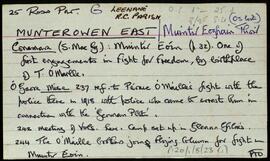
UntitledA set of index cards outlining briefly some of the local features of the townland of Munterowen East [Muintir Eoghain Thoir]. Included are descriptions of An Claí Trasna (a site of action during the Muintir Eoin battle), a note on the O'Malley family, Aill na bPúiríní, An Aill Riabhach, Tobar na Seacht nÍníon, Roighne Mhór, Pádraig Ó'Máille's house, Cnocán na Móna, and a note on a bridge in the town. Mr. Joyce, a local man is credited as being a local source of information.
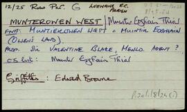
UntitledA set of index cards outlining briefly some of the local features of the townland of Munterowen West [Muintir Eoghain Thiar]. Included are a description of Joyce's Grove, and a note about proprietorship in the area over the last two centuries.
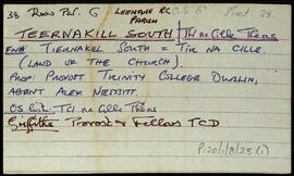
UntitledA set of index cards outlining briefly some of the local features of the townland of Teernakill South, [Tír na Cille Theas]. Included are descriptions of Binn Ramhar, Droichead an Easa (Shaughnessy's Bridge on the OS map), the Copper mines, a holy well, lake, and bridge, Tulachaí, Mám Aodha, Tír na Cille River, Aill na Lady, Corcóg, Log an tSamh, Bucán, Loigín Dóite, Meall, Binn Chaoinghí, Caobóg, Cúl an Easa, Na Cruic Breaca, and Binn Mhór. Will Crawford from Mám, Nora Keane, Mary Keane, Willy Sutcliffe, and a person identified as Lydon from Bun a Bhucáin are credited as being local sources of information.
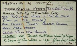
UntitledA set of index cards outlining briefly some of the local features of the townland of Teernakill North, [Tír na Cille Thuaidh]. Included are descriptions of the Mass Rock, Léana (a local village), Tobar Feichín (site of a holy well and a burial ground), Scoil Bhríde, Cnoc Beag, and Lugán. The local principal Mrs Tierney, local man Mr. MacAodha, and Willy Crawford are credited as being local sources of information.
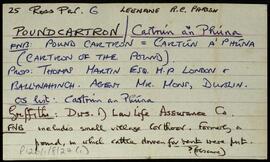
UntitledA set of index cards outlining briefly some of the local features of the townland of Poundcartron, [Cartrún an Phóna]. Included are descriptions of Cúlóg, Tigh Bairín, Éadan Bán, Sián, a row of four milk-white quartz boulders known as Stone Row, and a Fulacht Fiadh.
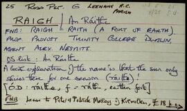
UntitledA set of index cards outlining briefly some of the local features of the townland of Raigh, [An Ráithe]. Included are the local explanation behind the name (that the sun only shines there for one season), and a note about Cnoc na Rátha, and Raigh Mountain (south of the village).
Untitled