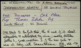
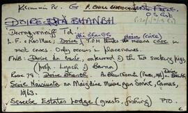
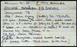
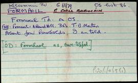
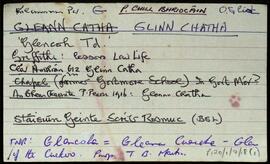
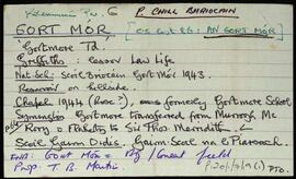
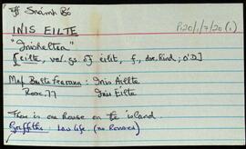
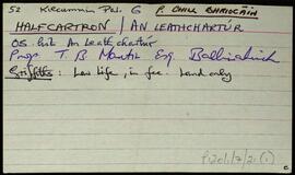
Set of index cards describing some of the local features of Doire Bhanbh, [Derravonniff]. A note on Screbe Estates Lodge, where Lord Dudley once lived, and Lady Dudley drowned here. A description of Scríb, with a note on Berridge of Screebe, formerly of Ballinahinch Castle. A note of an ambush at Scríb in 1921, when the Black and Tans were ambushed by Pádraig Ó'Máille's column, and later took revenge by burning 4 houses and a store. A note and illustration of the site of Screebe Lodge, which is not included in the 1839 map. There are two cards that detail the ownership of the Lodge from the time of the Berridges. Screebe Fishery, comprised of Inver and Screebe Salmon, and White Trout Fisheries is mentioned in the description. Summary cards are devoted to Cora na gCapall, Cora na bPuiríní, Loichín Crocán an Tarra, Oileán Bán, An tOileán Rua, Oileán na Scailpe, Loch an tSáile, Loch Scríbe, Abhainn Scríbe, An Ghlaise Dhubh, Loch DHoire Bhanbh, An Roisín, Loch an Mhianaigh, and Teachín na bPrayers which was built by the people of 'an Teach Mór', and was used as a Protestant Chapel until '35.