UGA P/P120/1/5/23/1
·
Item
Part of Personal
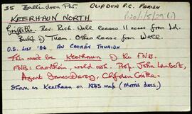
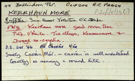
Set of index cards describing some of the local features of the townland of Keerhaunmore, [An Caorán Mór]. Included are descriptions of Tobar Chaillín, Caorán Dóite, Fuagh na hInnioch, Carraig Fia, and a crossed out card on Loch Beag. John O'Malley and Robert Coneys are credited as being local sources of information.
Untitled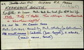
![Kill [An Chill]](/uploads/r/university-of-galway-archives/7/b/d/7bde64a92137bc115599aa93a9caf79104ae871f72930f7e6efef808c5cd0a95/300_142.jpg)