Index
655 Archival description results for Index
655 results directly related
Exclude narrower terms
UGA P/P120/1/1/10/1
·
Item
Part of Personal
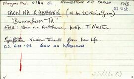
Set of index cards describing the physical features, many of which are small islands, of Bun na hAbhann, [Bunnahown]. Descriptions are given of Oileán na gCaorach, Cora Sheáinín Mainnín (a northern point on the inlet), Tobar Muire, na Cairrgí Dubha, Barr na dTamhnach, Loch an Phoill Mhór, Corn Island, Loch an Tairbh Dhuibh, Oileán Aodha, Oileán Chamaill, Glasoileán Mór, Oileán Donn/Domhain, Oileán Gorm, Caladh Cam, Cruachnait (Croghnut on the OS maps), Rua-oileán, Leacht na bhfaoileán, and The Wire (a long natural causeway of rocks). Tim Robinson cites local sources as having helped wtih much of the information gathering, with particular mention of M. Clogherty, Anthony Ridge of Bun na hAbhann, Máirtín Ó'Catháin of Gabhla, Patrick King's son, and MacDara Green.
Robinson,Tim,Clogherty,M.,Ridge,Anthony,Ó'Catháin,Máirtín,Green,MacDara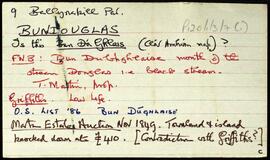
UGA P/P120/1/3/7/1
·
Item
Part of Personal
Set of index cards describing some of the local features of the townland of Bundouglas [Bun Dúghlaise], located at the mouth of the Black Stream, Douglas. Some notes from the auction of the Martin Estate in 1849, pointing out a possible contradiction with Griffith's Valuation. Fó na Slanntraí, and a note of a grave marked on the OS maps, but of which Tim Robinson can find no trace, are described. Local man Mr. Heanue is credited with providing some of the information.
Robinson,Tim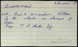
UGA P/P120/1/10/31/1
·
Item
Part of Personal
Two index cards relating to the townland of Bunnagippaun, [Bun na gCeapán].
Robinson,Tim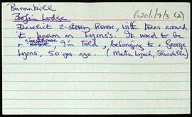
UGA P/P120/1/7/3/1
·
Item
Part of Personal
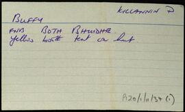
Set of index cards describing some of the local features of Bunnakill [Bun an Choill]. Included are brief descriptions of Bofin Lodge (a derelict 2-storey house known locally as Lyons's), and a note from the small names index about Tullan tanvaun.
Robinson,Tim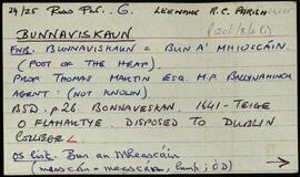
UGA P/P120/1/8/4/1
·
Item
Part of Personal
A set of index cards outlining some of the local features of the townland of Bunnaviskaun [Bun an Mheascáin]. Included are descriptions of Gleann Glaise (Glengloosh River on the OS maps), Trínse, Cúlóg, Mioscán, Fraoch, Binn Bhán, Anacair, Fiacla Gorm, and Trínse Mór/Trínse Beag. M. Keane of Gleann Glais is credited as being a local source of information.
Robinson,Tim,Keane,M.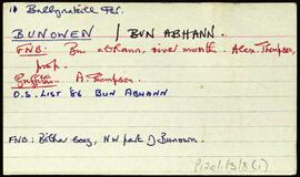
UGA P/P120/1/5/7/1
·
Item
Part of Personal
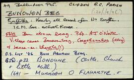
Set of index cards describing some of the local features of the townland of Bunowen Beg, [Bun Abhann Beag]. Included are descriptions of the local factory (belonged at one point to Scottish company Atlantic Alginates), Garbhcharraig, Poll Phéig Úna, Carraig Dhonncha, Scailp Úna, and Fox Island. Joe Joyce of Ballyconneely, and Micky Nee of Foorglass are credited with providing some of the local information.
Robinson,Tim,Joyce,Joe,Nee,Micky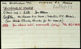
UGA P/P120/1/5/9/1
·
Item
Part of Personal
Set of index cards describing some of the local features of the townland of Bunowenmore, [Bun Abhann Mór]. Included are descriptions of Fuaigh na gColm (a smuggler's cave with a natural rock bridge across it), Inis siúl (Inishule on the OS), a note on the Blake family of Bunowen, Carraig Úna (and the tale of a member of the Conneely family who blinded the last surviving O'Flaherty, An Bioránach, then married his daughter), Doon Hill, a note on the Geoghegans, Baile Uí Chonaola, Crois (the South-Western point of Inishule), Loch an Dúin, Carraig Andrew (named after Andrew Conneely who came from the Aran Islands in 1830), Ballindoon Church, Cnoc an Dúin, Whisker's Lake, the site of Bunowen Castle of the O'Flaherties, Brandy Bridge, Cé All na Borradh. (These cards are in slightly mixed up order, need to be properly arranged). Jim O'Malley of Aill Bhreac. Martin O'Malley of Roundstone, and Mickey Nee of Foorglass are credited as being local sources of information.
Robinson,Tim,O'Malley,Jim,Martin,Nee,Mickey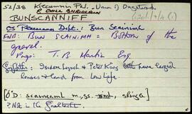
UGA P/P120/1/7/4/1
·
Item
Part of Personal
Set of index cards describing some of the local features of Bunscanniff, [Bun Scainimh]. Included are descriptions of The Halfway House, Tulachaí, Bun Mór, Loch Fhada, and the ruins of Mick McQuaid's Cottage. A note to say two photoraphs of McQuaid's cabin can be found in the Irish Architectural Archive.P. Joyce of Uráid, and Martin Lynch of Bunscanniff are credited as being local sources of information.
Robinson,Tim,Joyce,P.,Lynch,Martin