UGA P/P120/1/11/81/1
·
Item
Part of Personal
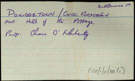
Index card for the townland of Poridgetown (West), [Cnoc an Bhracháin Thiar].
Robinson,Tim