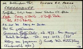
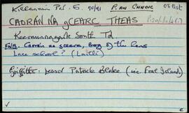
Set of index cards detailing some of the local features of the townland of Caorán na gCearc Theas, [Keeraunnagark South]. Included are descriptions of Cuan Dubhóige, Loch an Sticín, Lochán an Chalgach, An Cudú, Cannon Rock, Oileán an Bhronaigh, Aill an Bhréagaire, Toit Chonáin (an 8 foot mound of periwinkle shells), Céibh an Chaoráin, Oileán Ainnise, Poll Aill an Arbhair, and Loch an tSeanbhaile. Seán Ó'Fhatharta is credited as being a local source of information.
Robinson,Tim,Ó'Fhatharta,SeánCannon Rock
2 Archival description results for Cannon Rock
2 results directly related
Exclude narrower terms
UGA P/P120/1/11/4/1
·
Item
Part of Personal
UGA P/P120/1/5/11/1
·
Item
Part of Personal
Set of index cards describing some of the local features of the townland of Creggoduff, [Creig an Duibh]. The Connemara Golf Club was established there in 1973, and there is a local story that someone once deposited gold in a lake, which then filled up with sand so that he couldn't find it, on the site of the golf course. Also included are descriptions of Corrach Mór, and Cannon Rock (the site of a 9-pound cannon carried by part of a wrecked vessel). Seán King of Ballyconnelly, and John O'Neill, the oldest resident of Aill Breac are credited with providing some of the local information.
Robinson,Tim,King,Seán,O'Neill,John